Old Maps of London & Middlesex |
|
Page 1 - Page 2
|
|
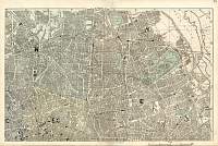
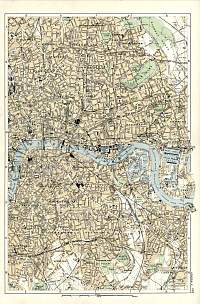
Bacon Atlas 1883
London
North East Town Plan
|
 |
|
|
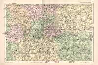
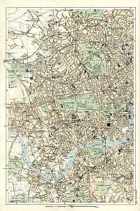
Environs of London 1904
Bacon's Environs of London 1904 |
 |
|
|
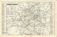
Bacon Atlas 1883
New
Railway Map of London & Suburbs
|
 |
|
|
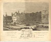
London Wall etching 1819 |
 |
|
|
Plan of Regents Park
Regent's Park, London. Plan drawn by Thos. Shepherd, published
28 July, 1827.
A Royal Park, developed from 1812 (Park Crescent on the S. side)
to a plan by John Nash. The Terraces were mostly built 1821 -
1826, so this plan was published just as it was completed. |
 |
|
|
London Workhouse Etching 1819 |
 |
|
|
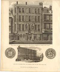
Merchant Taylors Hall Etching 1817 |
 |
|
|
London Environs East 1904 Bacon
|
 |
|
|
London Environs West 1904 Bacon |
 |
|
|
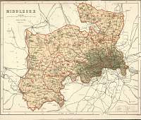
Middlesex
Parliamentary & County Atlas of Great Britain &
Ireland.
Maps by W. Hughes F.R.G.S.
Published by J.S. Virtue 1886. |
 |
|
|
Page 1 - Page 2 |
|
