 |
|
Page
1 - Page 2
|
|
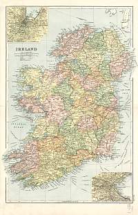
Ireland 1904
Bacon's Popular Atlas of the
British Isles
|
 |
|
|
Bacon Atlas 1883
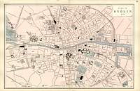
Dublin
Town Plan
|
 |
|
|
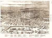
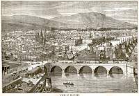
Belfast, NI, in 1886
|
 |
|
|
Belfast & surrounding area,
Northern Ireland.
1866 Edward Weller
|
 |
|
|
Belfast & Cork
Scanned from Bartholomew's
Gazatteer of the British Isles 1904
|
 |
|
|
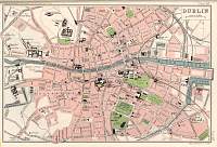
Dublin
Scanned from Bartholomew's Gazatteer of the British Isles 1904
|
 |
|
|
Ireland 1898 Bartholomew
|
 |
|
|
Belfast
this one from 1894
|
 |
|
|
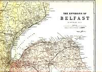
The
Environs of Belfast" 1866 Weller
Split into 4 sections.
|
 |
|
|
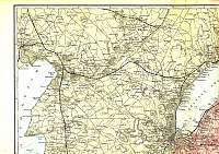
"The Environs of Belfast" 1866 Weller
Split into 4 sections.
|
 |
|
|
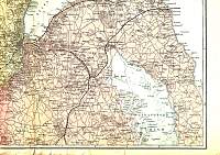
"The Environs of Belfast" 1866 Weller
Split into 4 sections.
|
 |
|
|
"The Environs of Belfast" 1866 Weller
Split into 4 sections.
|
 |
|
|
Page
1 - Page 2 |
|
