 |
|
|
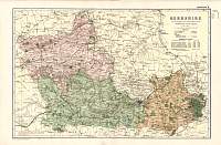
Berkshire 1846
Drawn & Engraved by J. Archer
especially for Thomas Dugdales; Curiosities of Great Britain
England and Wales Delineated 1846.
|
 |
|
|
Berkshire 1787 Cary's
From John Cary's 1787 Atlas |
 |
|
|
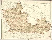
Berkshire 1904
Bacon's Popular Atlas of the
British Isles
|
 |
|
|
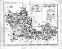
Berkshire
Parliamentary & County Atlas of Great Britain &
Ireland.
Maps by W. Hughes F.R.G.S.
Published by J.S. Virtue 1886.
|
 |
|
|
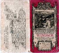
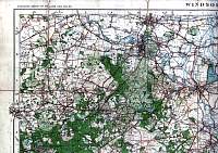
OS One Inch Map Popular Edition 1920 - Windsor
Cover
|
 |
|
|
OS One Inch Map Popular Edition 1920 - Windsor
Top
Right
|
 |
|
|
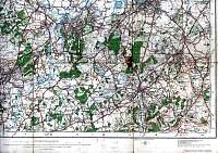
OS
One Inch Map Popular Edition 1920 - Windsor
Top
Left
|
 |
|
|
OS
One Inch Map Popular Edition 1920 - Windsor
Bottom
Right
|
 |
|
|
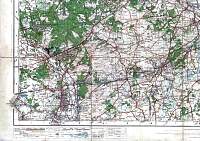
OS
One Inch Map Popular Edition 1920 - Windsor
Bottom
Left
|
 |
|
