 |
|
|
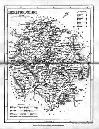
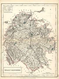
Herefordshire 1846
Drawn & Engraved by J. Archer
especially for Thomas Dugdales; Curiosities of Great Britain
England and Wales Delineated 1846.
|
 |
|
|
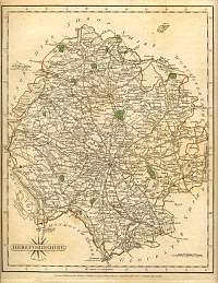
Herefordshire 1830
1830 T.L. Murray. |
 |
|
|
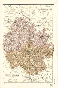
Herefordshire 1904
Bacon's Popular Atlas of the British Isles |
 |
|
|
Herefordshire 1787 Cary
From John Cary's 1787 Atlas |
 |
|
|
Hereford & The Malverns
1903 J.G. Bartholomew |
 |
|
|
Herefordshire 1840 Chapman &
Hall |
 |
|
|
Herefordshire
Parliamentary & County Atlas of Great Britain &
Ireland.
Maps by W. Hughes F.R.G.S.
Published by J.S. Virtue 1886. |
 |
|
