 |
|
|
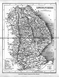
Lincolnshire 1846
Drawn & Engraved by J. Archer
especially for Thomas Dugdales; Curiosities of Great Britain
England and Wales Delineated 1846.
|
 |
|
|
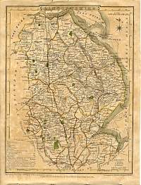
Lincolnshire 1787 Cary
From John Cary's 1787 Atlas |
 |
|
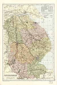
Lincolnshire 1904
Bacon's Popular Atlas of the British Isles |
 |
|
|
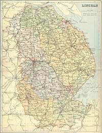
Lincoln 1895 F.S. Weller /
Mackenzie |
 |
|
|
Lincolnshire 1807 Cole /
Roper |
 |
|
|
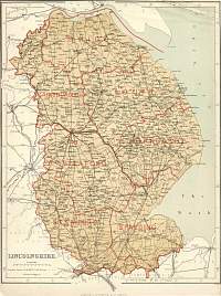
Lincolnshire
Parliamentary & County Atlas of Great Britain &
Ireland.
Maps by W. Hughes F.R.G.S.
Published by J.S. Virtue 1886. |
 |
|
