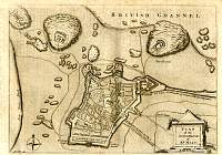
Parliamentary & County Atlas of Great Britain &
Ireland.
Maps by W. Hughes F.R.G.S.
Published by J.S. Virtue 1886.
Atlas loaned to us by Nick Day.
Scanned Images by A.D. Ford.
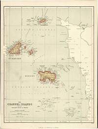
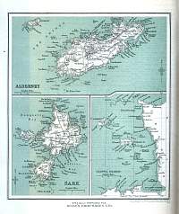
Channel Islands 1931
Alderney, Sark & Isles map from Kelly's 1931
Directory.
Full directory available on CD-Rom from Your Old
Books & Maps.
Preview
& Buy
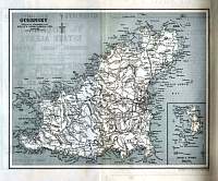
Channel Islands 1931
Guernsey map from Kelly's 1931 Directory.
Full directory available on CD-Rom from Your Old
Books & Maps.
Preview
& Buy
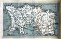
Channel Islands 1931
Jersey map from Kelly's 1931 Directory.
Full directory available on CD-Rom from Your Old
Books & Maps.
Preview
& Buy