Old Maps of Lancashire |
|
Page
1 - Page 2 -
Page 3
|
|
Phillips City Map of Liverpool 1795
Published by R. Phillips,
Liverpool.
|
 |
|
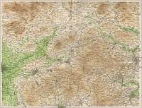
Archer County Map of Lancashire 1846
Drawn & Engraved by J. Archer
especially for Thomas Dugdales; Curiosities of Great Britain
England and Wales Delineated 1846.
|
 |
|
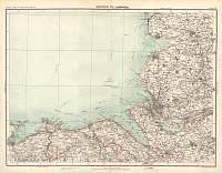
Bartholomew Map of Blackburn & Halifax 1903
1903 J.G.
Bartholomew
|
 |
|
|
Liverpool 1868
|
 |
|
|
John Cary Map of Lancashire 1787
From John Cary's 1787 Atlas
|
 |
|
|
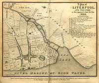
Liverpool Map 1650 ( Pub. 1829 )
|
 |
|
|
East Liverpool Map 1903
|
 |
|
|
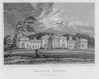
Etching of Heaton Hall
Heaton Hall, Lancashire. not signed or dated, but c. 1805
3 miles north of the centre of Manchester. House designed by James Wyatt in
1772. Bought with its park by Manchester Corporation in 1902.
|
 |
|
|
Lancaster Canal 1795
1795 map of the proposed Lancaster Canal by John Stockdale. It shows the canal
from Westhoughton to Kendal, though later a tramway ran from Preston to Whittle
as this canal section was never built.
|
 |
|
|
Map of Liverpool 1923
|
 |
|
Bartholomew Map of Liverpool 1899
Bartholomew
|
 |
|
|
Bartholomew Map of Liverpool 1904
Scanned from Bartholomew's Gazetteer of the British Isles 1904
|
 |
|
|
Page
1 - Page 2 -
Page 3 |
|
