 |
|
Page 1 -
Page 2 - Page 3
|
|
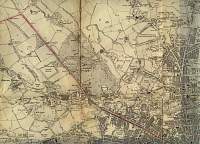
Bolton (N/N/E)1920 |
 |
|
|
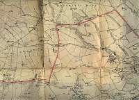
Bolton (N-N/West)1920 |
 |
|
|
Bolton (North
West)1920
|
 |
|
|
Bolton (S/E)1920 |
 |
|
|
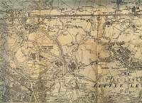
Bolton (S/S/E)1920 |
 |
|
|
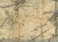
Bolton (S/S/W)1920
|
 |
|
|
Bolton (S/W)1920
|
 |
|
|
Bolton (West)1920 |
 |
|
|
Bolton (Centre/West)1920
|
 |
|
|
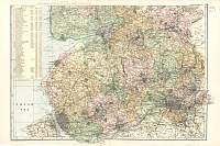
Lancashire North 1904
Bacon's Popular Atlas of the British Isles |
 |
|
|
Lancashire South 1904
Bacon's Popular Atlas of the British Isles |
 |
|
|
Liverpool
Times 1920 Atlas |
 |
|
|
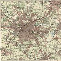
Manchester
Times 1920 Atlas |
 |
|
|
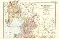
Lancashire
Parliamentary & County Atlas of Great Britain &
Ireland.
Maps by W. Hughes F.R.G.S.
Published by J.S. Virtue 1886. |
 |
|
|
Page 1 -
Page 2 - Page 3 |
|
